 By Medium -
2021-02-04
By Medium -
2021-02-04
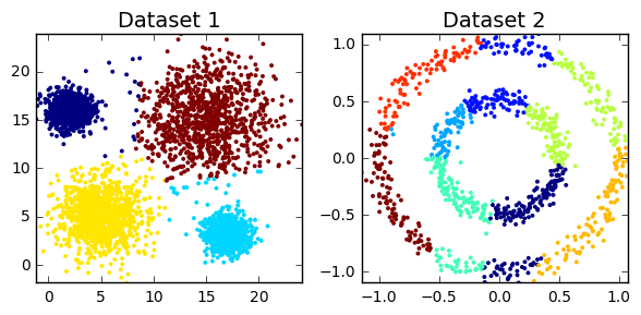
When we start learning how to build deep neural networks with Keras, the first method we use to input data is simply loading it into NumPy arrays. At some point, especially when working with images…
 By CMSWire.com -
2021-03-16
By CMSWire.com -
2021-03-16
Not all data is valuable or actionable and discerning which is which can be hard. Learn to craft a successful data strategy that can help a brand learn to swim.
 By Medium -
2020-12-08
By Medium -
2020-12-08
As you know, data science, and more specifically machine learning, is very much en vogue now, so guess what? I decided to enroll in a MOOC to become fluent in data science. But when you start with a…
 By huggingface -
2021-02-08
By huggingface -
2021-02-08
We’re on a journey to solve and democratize artificial intelligence through natural language.
 By Medium -
2020-12-01
By Medium -
2020-12-01
If I learned anything from working as a data engineer, it is that practically any data pipeline fails at some point. Broken connection, broken dependencies, data arriving too late, or some external…
 By Google Cloud Blog -
2021-03-12
By Google Cloud Blog -
2021-03-12
Among the best ways to prevent data loss are to modify, delete, or never collect the data in the first place.